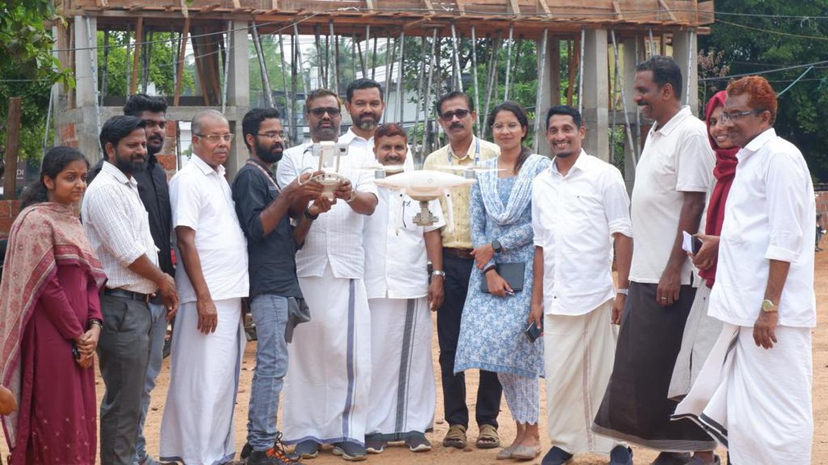
The Nadapuram grama panchayat on Friday launched an aerial survey using drone cameras as part of measures in place to digitise land records and other assets. Panchayat president V.V. Mohammed Ali inaugurated the GIS mapping project implemented at a cost of ₹15 lakh. The project will be completed by experts from UL Technology Solutions functioning under the Uralungal Labour Contract Cooperative Society.

