

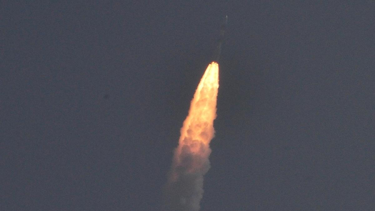
Remote sensing satellite Resourcesat-2A was launched from Sriharikota at 10:24 a.m. on Wednesday.
The spacecraft was flown aboard a PSLV-C36 rocket.
"It was a perfect launch," A.S. Kiran Kumar, chairman of the Indian Space Research Organisation (ISRO), said.
"We have put one more operational satellite in orbit," he said in an address from the Satish Dhawan Space Centre (SDSC) in coastal Andhra Pradesh.
It was the 37th consecutive successful flight of the indigenous light-lifting rocket.
The 1,235-kg spacecraft has started orbiting pole-to-pole at 824 km from Earth. The three cameras of different resolution on the spacecraft will give regular micro and macro information on land and water bodies below, farm lands and crop extent, forests, mineral deposits, coastal information, rural and urban spreads besides helping in disaster management.
New features
The ISRO put a few specialties into what is otherwise a routine follow-on mission.
"The new on-board cameras put for the first time on the launcher showed us the separation of the stages during the flight and the deployment of the solar panels of the satellite," Mr. Kiran Kumar said.
SDSC Director P.Kunhikrishnan said this was ISRO's ninth launch in 2016, including the more powerful and operational GSLV. A new avionics and flight navigation system was tested.
Faster & safer options
A safe and remote fuel filling system that reduces countdown by a day and makes it safe for engineers handling propellants has been introduced, said S. Sivan, director of the Vikram Sarabhai Space Centre (VSSC) — the lead centre for launch activities.
Three-tier imaging
Resourcesat-2A is a follow-on of two predecessor spacecraft for Earth observation from space. For the next five years, it will ensure continuity of remote-sensing data given by the two older ones of this theme.
Resourcesat-1 was put in space in October 2003 and Resourcesat-2 in April 2011, each with a planned life of five years.
Once paired with Resourcesat-2 after 150 orbits, it can provide better and more frequent data on resources, according to its Project Director S.Nagesh.
An ISRO official said the satellite's three cameras can cover the land below in a unique three-tier manner.
The AWiFS (Advanced Wide Field Sensor) provides images of 56-metre resolution that would be useful at the State level, for example. The LISS-3 (Linear Imaging Self-scanning Sensor) of 23.5-m resolution can take pictures at the district level; and the LISS-4 of 5.6 m can provide taluk level information.
For the current flight, the four-stage rocket was configured in the XL version with six small strap-on motors.
Since 1994, ISRO's old reliable light payload lifter has placed in orbit 121 satellites since 1994, including 79 foreign ones for a fee.
